4th Assessment Cal-Adapt
Cal Adapt California state logo

The new Cal-Adapt has been revamped to offer a more modern and intuitive experience for exploring peer-reviewed 5th Assessment climate data. Our platform provides interactive visualizations, downloadable datasets, the Analytics Engine and the Cal-Adapt API, helping you analyze how climate change may impact California at both state and local levels.

tools

Analyze extreme heat, precipitation, fire weather, and other emerging trends shaping California’s uncertain climate future.

guidance

Gain clarity on key concepts like uncertainty, Global Warming Levels, and other essential terms.

data

Learn about the data sources, methods, analyses, and how to access them.

Cal-Adapt's Tool Array

Climate Insights for Everyone

Explore
Extreme heat days
Availability of renewable resources
Fire weather risk
Extreme precipitation
CMIP6 data packages
California agricultural workers on a field
Extreme heat days

Understand how many extreme heat days will occur in the future

Analytics for Advanced Users

Explore
Github
ClimaKitAE Documentation
Data Access
AE Login page (requires account)
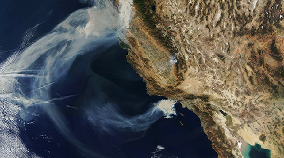
California seen from a satellite view
Github

Our open-source Python code for exploring, analyzing, and exporting the full Fifth Assessment dataset (~2.5 pB)


Mapping Wildfire Weather

The Data Explorer Tool provides an interactive map to visualize key climate indicators, including the Fosberg Fire Weather Index (FFWI), helping users explore wildfire weather across California.

An image of a water stream in a desert landscape

Fueling Innovation

The California Energy Commission supports research projects that advance climate data development and enhance Cal-Adapt for improved climate planning in California.